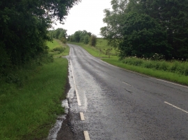
Byres Strip, East Ayrshire

« Gazetteer Entry
Upload Photo

Byres Strip, East Ayrshire

  • Unitary Authority: East Ayrshire
  • Region: Scotland
  • Category: Landcover
  • Type: Forest or Wood
  • Latitude/Longitude: 55°36'46"N 4°22'49"W
  • Eastings/Northings: 250162, 638061
  • OS Grid: NS501380
  • Mapcode Local: GBR 3M.MF8Y
  • Mapcode Global: WH3QC.P57V

Location and coordinates are for the approximate centre of Byres Strip within this administrative area. Geographic features and populated places may cross administrative borders.

BritishPlaceNames.uk is a Good Stuff website.