-
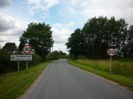
Entering Thornton, East Yorkshire
-
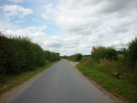
A minor road heading to Thornton
Entering Thornton, East Yorkshire
A minor road heading to Thornton
Location and coordinates are for the approximate centre of Byholme Field within this administrative area. Geographic features and populated places may cross administrative borders.