-
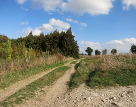
Ridgeway Down, a Good Name
-
Grim's Ditch
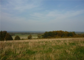
Ridgeway Down, a Good Name
Grim's Ditch
Location and coordinates are for the approximate centre of Butterbush Reservoir within this administrative area. Geographic features and populated places may cross administrative borders.