-
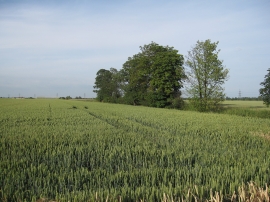
Wheat field by Hightown Drove
-
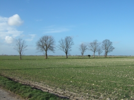
Trees on Hallard's Fen
Wheat field by Hightown Drove
Trees on Hallard's Fen
Location and coordinates are for the approximate centre of Burwell Fen within this administrative area. Geographic features and populated places may cross administrative borders.