-
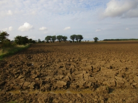
Deep ploughed field
-
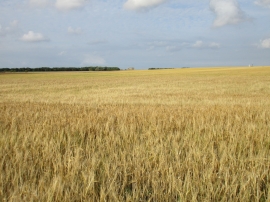
Uncut barley
Deep ploughed field
Uncut barley
Location and coordinates are for the approximate centre of Burstwick Drain within this administrative area. Geographic features and populated places may cross administrative borders.