-
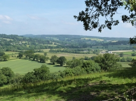
View from minor road to the South of Chudleigh (1)
-
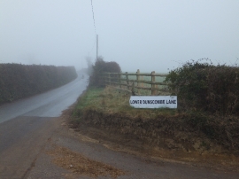
A misty day at Lower Dunscombe Lane
View from minor road to the South of Chudleigh (1)
A misty day at Lower Dunscombe Lane
Location and coordinates are for the approximate centre of Burrows Wood within this administrative area. Geographic features and populated places may cross administrative borders.