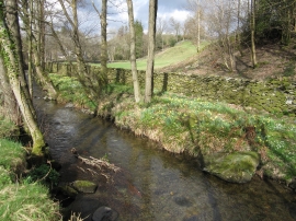
Burnt Wood, Cumbria

« Gazetteer Entry
Upload Photo

Burnt Wood, Cumbria

  • Parish/Community: Satterthwaite
  • District/Borough: South Lakeland
  • County: Cumbria
  • Region: North West
  • Category: Landcover
  • Type: Forest or Wood
  • Latitude/Longitude: 54°18'31"N 2°59'57"W
  • Eastings/Northings: 335072, 490812
  • OS Grid: SD350908
  • Mapcode Local: GBR 7LHM.F5
  • Mapcode Global: WH82R.WYWP

Location and coordinates are for the approximate centre of Burnt Wood within this administrative area. Geographic features and populated places may cross administrative borders.

BritishPlaceNames.uk is a Good Stuff website.