-
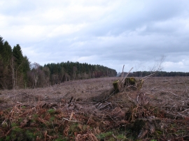
Clear felled area, Grimston Moor
-
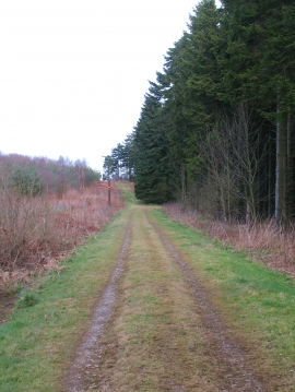
Woodland track, Grimston Moor
Clear felled area, Grimston Moor
Woodland track, Grimston Moor
Location and coordinates are for the approximate centre of Burnt Gill Plantation within this administrative area. Geographic features and populated places may cross administrative borders.