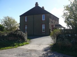
Burnside Wood, Carlisle

« Gazetteer Entry
Upload Photo

Burnside Wood, Carlisle

  • Unitary Authority: Carlisle
  • Region: Scotland
  • Category: Landcover
  • Type: Forest or Wood
  • Latitude/Longitude: 54°45'34"N 4°31'15"W
  • Eastings/Northings: 237890, 543425
  • OS Grid: NX378434
  • Mapcode Local: GBR HJ64.3WW
  • Mapcode Global: WH3VC.JMDN

Location and coordinates are for the approximate centre of Burnside Wood within this administrative area. Geographic features and populated places may cross administrative borders.

BritishPlaceNames.uk is a Good Stuff website.