-
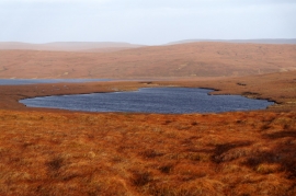
Trona Water from the south
-
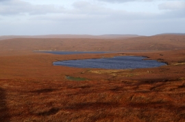
Trona Water from the Hill of Colvister
Trona Water from the south
Trona Water from the Hill of Colvister
Location and coordinates are for the approximate centre of Burn of East Mires within this administrative area. Geographic features and populated places may cross administrative borders.