-
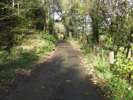
Road passing between Brokentree Wood and Kirton Strips
-
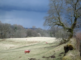
Annet Burn Glen, near Doune
Road passing between Brokentree Wood and Kirton Strips
Annet Burn Glen, near Doune
Location and coordinates are for the approximate centre of Burn of Cambus within this administrative area. Geographic features and populated places may cross administrative borders.