-
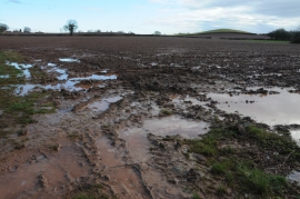
Wet ploughed field
-
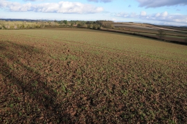
Arable land viewed from Sutton Walls Fort
Wet ploughed field
Arable land viewed from Sutton Walls Fort
Other current and historical names
Location and coordinates are for the approximate centre of Burmarsh within this administrative area. Geographic features and populated places may cross administrative borders.