-

East Devon : Pynes House
-
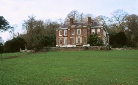
Pynes, 2000
East Devon : Pynes House
Pynes, 2000
Location and coordinates are for the approximate centre of Burleycoombe Wood within this administrative area. Geographic features and populated places may cross administrative borders.