-
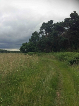
Bridleway through the Welbeck Estate
-

A huge area of manicured grass leading to Welbeck Abbey
Bridleway through the Welbeck Estate
A huge area of manicured grass leading to Welbeck Abbey
Location and coordinates are for the approximate centre of Burial Ground Plantation within this administrative area. Geographic features and populated places may cross administrative borders.