-
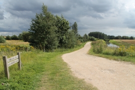
Access to Celebration Wood and a minor tributary of the Trent
-
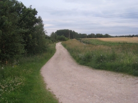
Track to Celebration Wood
Access to Celebration Wood and a minor tributary of the Trent
Track to Celebration Wood
Location and coordinates are for the approximate centre of Bunker's Hill Warren within this administrative area. Geographic features and populated places may cross administrative borders.