-
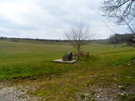
Millennium seat, Alton Pancras
-
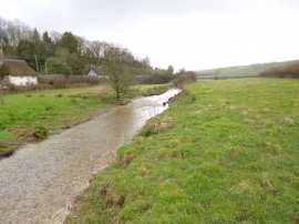
Alton Pancras, River Piddle
Millennium seat, Alton Pancras
Alton Pancras, River Piddle
Location and coordinates are for the approximate centre of Bulland's Plantation within this administrative area. Geographic features and populated places may cross administrative borders.