-
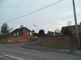
London Road, Buckland
-
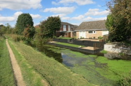
A clear bit of canal
London Road, Buckland
A clear bit of canal
Location and coordinates are for the approximate centre of Bucklandwharf within this administrative area. Geographic features and populated places may cross administrative borders.