-

Coastal path at Bu Taing, Boddam
-
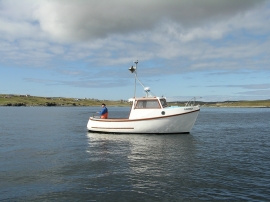
Voe Dunrossness
Coastal path at Bu Taing, Boddam
Voe Dunrossness
Location and coordinates are for the approximate centre of Bu Taing within this administrative area. Geographic features and populated places may cross administrative borders.