-
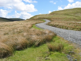
The Drybedd track
-
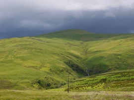
Rain clouds over Disgwylfa Fawr
The Drybedd track
Rain clouds over Disgwylfa Fawr
Location and coordinates are for the approximate centre of Bryn Llwyd within this administrative area. Geographic features and populated places may cross administrative borders.