-

The Ridgeway approaching the A18 Kingsway
-
Brumby Wood Lane
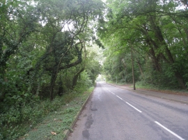
The Ridgeway approaching the A18 Kingsway
Brumby Wood Lane
Location and coordinates are for the approximate centre of Brumby Wood within this administrative area. Geographic features and populated places may cross administrative borders.