-
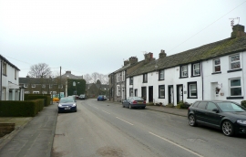
Ormerod Street, Worsthorne
-
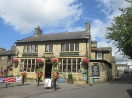
Crooked Billet, Worsthorne
Ormerod Street, Worsthorne
Crooked Billet, Worsthorne
Other current and historical names
Location and coordinates are for the approximate centre of Brownside within this administrative area. Geographic features and populated places may cross administrative borders.