-
Otterburn Beck, east of Reek House Hill
-
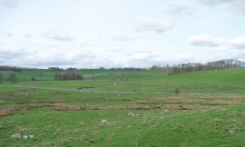
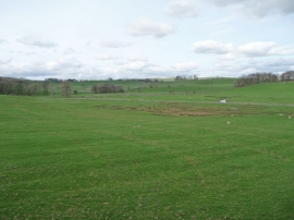
Sheep grazing by issues and sinks, Otterburn valley
Otterburn Beck, east of Reek House Hill
Sheep grazing by issues and sinks, Otterburn valley
Location and coordinates are for the approximate centre of Brown Hill Plantn within this administrative area. Geographic features and populated places may cross administrative borders.