-
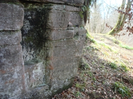
First sentry post
-
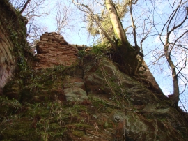
Auchinleck Castle
First sentry post
Auchinleck Castle
Location and coordinates are for the approximate centre of Broomhouse Braes within this administrative area. Geographic features and populated places may cross administrative borders.