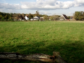
Broomham Shaw, Kent

« Gazetteer Entry
Upload Photo

Broomham Shaw, Kent

  • Parish/Community: Eastling
  • District/Borough: Swale
  • County: Kent
  • Region: South East
  • Category: Landcover
  • Type: Forest or Wood
  • Latitude/Longitude: 51°16'5"N 0°49'24"E
  • Eastings/Northings: 597070, 155917
  • OS Grid: TQ970559
  • Mapcode Local: GBR RV8.K18
  • Mapcode Global: VHKK1.7D72

Location and coordinates are for the approximate centre of Broomham Shaw within this administrative area. Geographic features and populated places may cross administrative borders.

BritishPlaceNames.uk is a Good Stuff website.