-

Close up, George V postbox on Chatsworth Road (A619)
-
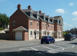
New houses on Chatsworth Road
Close up, George V postbox on Chatsworth Road (A619)
New houses on Chatsworth Road
Location and coordinates are for the approximate centre of Brookside within this administrative area. Geographic features and populated places may cross administrative borders.