-
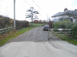
Ford farm house, South Holmwood
-
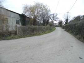
Lodge Lane, South Holmwood
Ford farm house, South Holmwood
Lodge Lane, South Holmwood
Location and coordinates are for the approximate centre of Brookfield Copse within this administrative area. Geographic features and populated places may cross administrative borders.