-

Houses on Baldock Road, Cottered
-
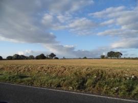
Field by Baldock Road, Cottered
Houses on Baldock Road, Cottered
Field by Baldock Road, Cottered
Location and coordinates are for the approximate centre of Brook End within this administrative area. Geographic features and populated places may cross administrative borders.