-
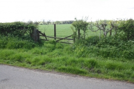
Gateway from minor road opposite Toad Dubb
-
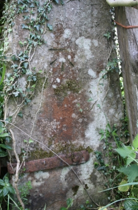
Benchmark on gatepost opposite Toad Dubb
Gateway from minor road opposite Toad Dubb
Benchmark on gatepost opposite Toad Dubb
Location and coordinates are for the approximate centre of Broda Green Wood within this administrative area. Geographic features and populated places may cross administrative borders.