-
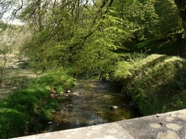
The view downstream from Brockham Bridge on the River Yeo
-
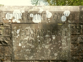
A plaque on Brockham Bridge on the River Yeo
The view downstream from Brockham Bridge on the River Yeo
A plaque on Brockham Bridge on the River Yeo
Location and coordinates are for the approximate centre of Brockham Wood within this administrative area. Geographic features and populated places may cross administrative borders.