-

Pen-Y-Gau Trig Point between Llansaint & Ferryside
-
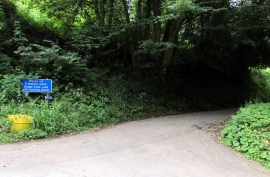
Single track road with passing places near Ferryside
Pen-Y-Gau Trig Point between Llansaint & Ferryside
Single track road with passing places near Ferryside
Location and coordinates are for the approximate centre of Broadlay within this administrative area. Geographic features and populated places may cross administrative borders.