-
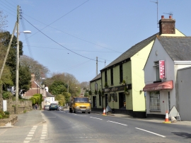
The Foxhound Inn, Brixton
-
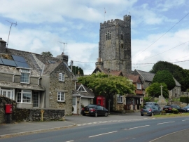
Houses in Brixton on the A379
The Foxhound Inn, Brixton
Houses in Brixton on the A379
Location and coordinates are for the approximate centre of Brixton within this administrative area. Geographic features and populated places may cross administrative borders.