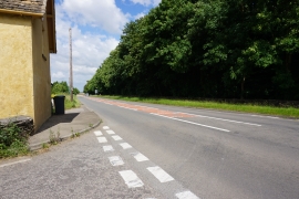
Britton Bottom, Stroud

« Gazetteer Entry
Upload Photo

Britton Bottom, Stroud

  • Parish/Community: Hawkesbury
  • Unitary Authority: Stroud
  • Region: South West
  • Category: Geographic Feature
  • Type: Valley
  • Latitude/Longitude: 51°34'30"N 2°18'33"W
  • Eastings/Northings: 378658, 186301
  • OS Grid: ST786863
  • Mapcode Local: GBR 0N7.4YL
  • Mapcode Global: VH95N.XNHT

Location and coordinates are for the approximate centre of Britton Bottom within this administrative area. Geographic features and populated places may cross administrative borders.

BritishPlaceNames.uk is a Good Stuff website.