-
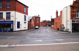
Hebb Street, Worcester
-
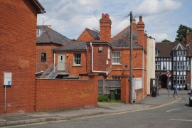
Hebb Street, Rear of Paradise Row
Hebb Street, Worcester
Hebb Street, Rear of Paradise Row
Location and coordinates are for the approximate centre of Britannia Square within this administrative area. Geographic features and populated places may cross administrative borders.