-
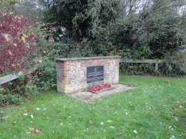
Aircrew crash memorial at Brisley
-
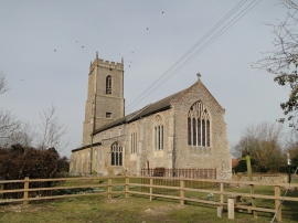
Brisley St Bartholomew's church
Aircrew crash memorial at Brisley
Brisley St Bartholomew's church
Location and coordinates are for the approximate centre of Brisley within this administrative area. Geographic features and populated places may cross administrative borders.