-
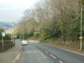
Bridgetown Hill Totnes
-
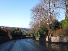
Bridgetown Hill with a view to Totnes Castle
Bridgetown Hill Totnes
Bridgetown Hill with a view to Totnes Castle
Location and coordinates are for the approximate centre of Bridgetown within this administrative area. Geographic features and populated places may cross administrative borders.