-
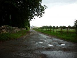
A bridleway towards Manor Farm
-
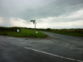
A road junction near Whitegrounds farm
A bridleway towards Manor Farm
A road junction near Whitegrounds farm
Location and coordinates are for the approximate centre of Bravender Plantation within this administrative area. Geographic features and populated places may cross administrative borders.