-
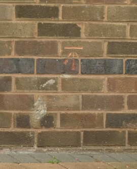
Bench mark, 81 Thoresby Road, Bramcote
-
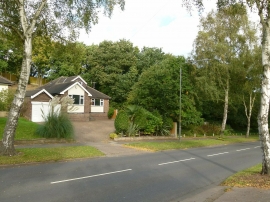
81 Thoresby Road, Bramcote
Bench mark, 81 Thoresby Road, Bramcote
81 Thoresby Road, Bramcote
Location and coordinates are for the approximate centre of Bramcote Hills within this administrative area. Geographic features and populated places may cross administrative borders.