-
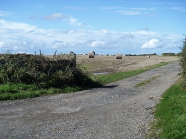
Path meets the road
-
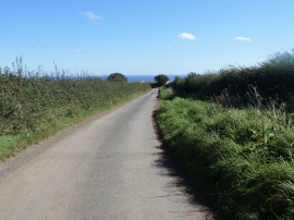
Goldsborough Lane
Path meets the road
Goldsborough Lane
Location and coordinates are for the approximate centre of Brake End Plantation within this administrative area. Geographic features and populated places may cross administrative borders.