-
Valley of the Danny Burn at Blackford
-
Braes of Ogilvie
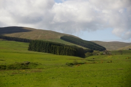
Valley of the Danny Burn at Blackford
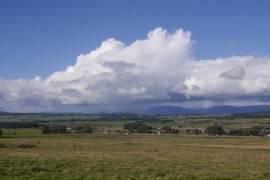
Braes of Ogilvie
Location and coordinates are for the approximate centre of Braes of Ogilvie within this administrative area. Geographic features and populated places may cross administrative borders.