-
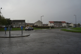
Houses on Carrick Court off Broom Road, Braehead
-
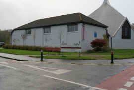
North Parish Church on Springfield Road, Braehead
Houses on Carrick Court off Broom Road, Braehead
North Parish Church on Springfield Road, Braehead
Location and coordinates are for the approximate centre of Braehead within this administrative area. Geographic features and populated places may cross administrative borders.