-
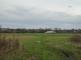
Playing field at Bradeley
-
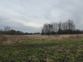
Rough grassland at Whitfield Valley LNR
Playing field at Bradeley
Rough grassland at Whitfield Valley LNR
Other current and historical names
Location and coordinates are for the approximate centre of Bradeley within this administrative area. Geographic features and populated places may cross administrative borders.