-
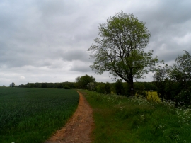
Field margin near Bozen Green
-
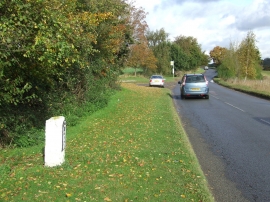
Old Milestone
Field margin near Bozen Green
Old Milestone
Location and coordinates are for the approximate centre of Bozen Green within this administrative area. Geographic features and populated places may cross administrative borders.