-
The path to Seamer Beacon
-

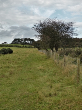
The track to Box Hill Farm
The path to Seamer Beacon
The track to Box Hill Farm
Location and coordinates are for the approximate centre of Boxhill Plantation within this administrative area. Geographic features and populated places may cross administrative borders.