-
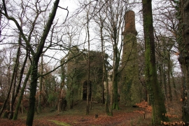
Druid Copper Mine
-
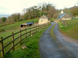
Druid Cottage
Druid Copper Mine
Druid Cottage
Location and coordinates are for the approximate centre of Bowdley Plantation within this administrative area. Geographic features and populated places may cross administrative borders.