-
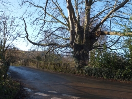
Bow Bridge
-
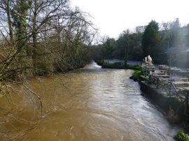
Harbourne River in full spate from Bow Bridge, Tuckenhay
Bow Bridge
Harbourne River in full spate from Bow Bridge, Tuckenhay
Location and coordinates are for the approximate centre of Bow within this administrative area. Geographic features and populated places may cross administrative borders.