-
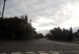
Bottrells Lane at the junction of Back Lane
-
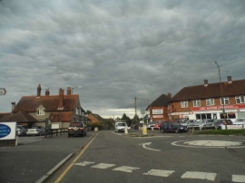
Roundabout on Three Households, Chalfont St Giles
Bottrells Lane at the junction of Back Lane
Roundabout on Three Households, Chalfont St Giles
Other current and historical names
Location and coordinates are for the approximate centre of Bottrells Close within this administrative area. Geographic features and populated places may cross administrative borders.