-
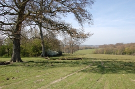
Land near Mountfield Court
-
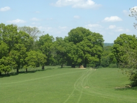
Footpath to Glottenham Manor
Land near Mountfield Court
Footpath to Glottenham Manor
Location and coordinates are for the approximate centre of Bottonhold Wood within this administrative area. Geographic features and populated places may cross administrative borders.