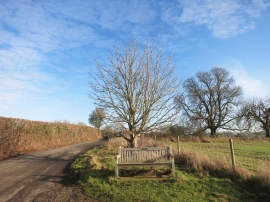
Bottom Wood, Buckinghamshire

« Gazetteer Entry
Upload Photo

Bottom Wood, Buckinghamshire

  • Parish/Community: Hambleden
  • District/Borough: Wycombe
  • County: Buckinghamshire
  • Region: South East
  • Category: Landcover
  • Type: Forest or Wood
  • Latitude/Longitude: 51°36'20"N 0°51'52"W
  • Eastings/Northings: 478723, 190276
  • OS Grid: SU787902
  • Mapcode Local: GBR C41.B71
  • Mapcode Global: VHDW2.YWRW

Location and coordinates are for the approximate centre of Bottom Wood within this administrative area. Geographic features and populated places may cross administrative borders.

BritishPlaceNames.uk is a Good Stuff website.