-

High Borrow Bridge
-
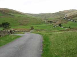
The lane to Crookdale
High Borrow Bridge
The lane to Crookdale
Location and coordinates are for the approximate centre of Borrowdale within this administrative area. Geographic features and populated places may cross administrative borders.