-
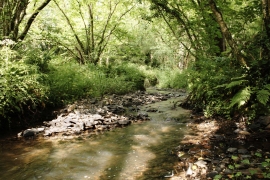
Small River near High Bickington
-
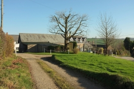
Seckington
Small River near High Bickington
Seckington
Location and coordinates are for the approximate centre of Boreat Copse within this administrative area. Geographic features and populated places may cross administrative borders.